Hydromorphological monitoring
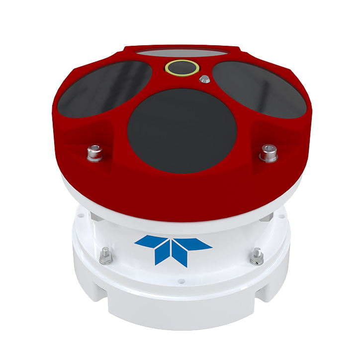
Type: ADCP RiverPro 1200
ADCP
ADCP measure flow direction and velocity. During river transects, it is mounted on a boat and records real-time velocity databased on doppler effect.
The illustrations below show the results of measurements taken using an ADCP device…
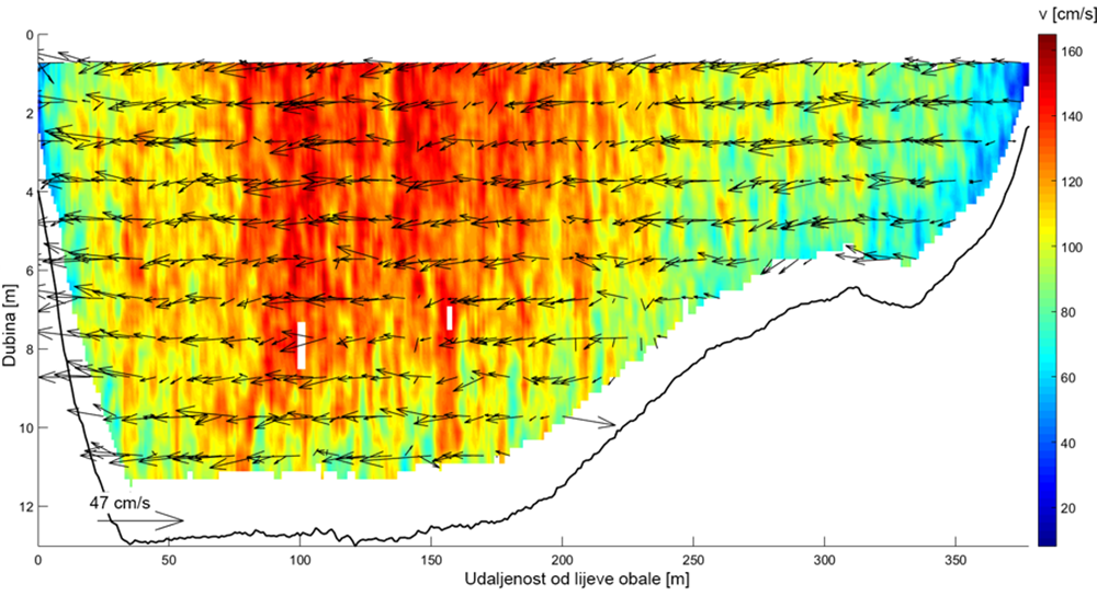
ADCP presents velocities in a grid of cells of over the entire measured cross-section in real-time.
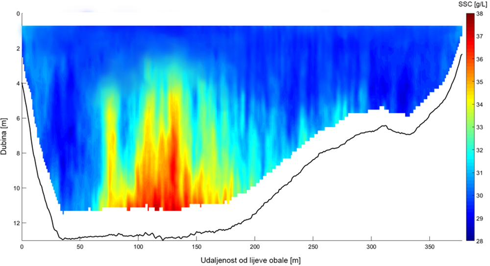
ADCP data post-processing enables converting raw signal into suspended sediment concentration data.
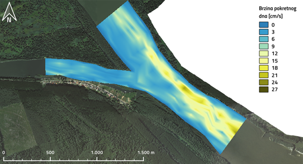
ADCP and GPS data post-processing estimate bedload velocity as indirect bedload intensity indicator.
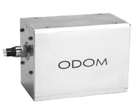
Type: ODOM ES3
MULTIBEAM
Multibeam is underwater riverbed mapping set-up that collect water depth data over wide swaths, resulting in detailed river bathymetry.
The illustrations below show the results of measurements taken with a multibeam echo sounder…
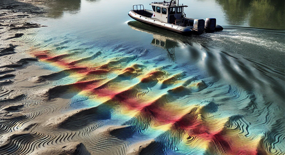
Riverbed morphology is derived from direct bathymetric measurements where intricate bedforms can be identified.
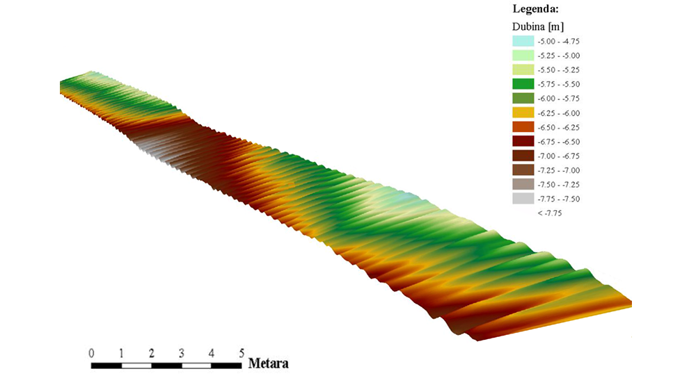
Post-processing of georeferenced bathymetric maps results in estimation of dune celerity.
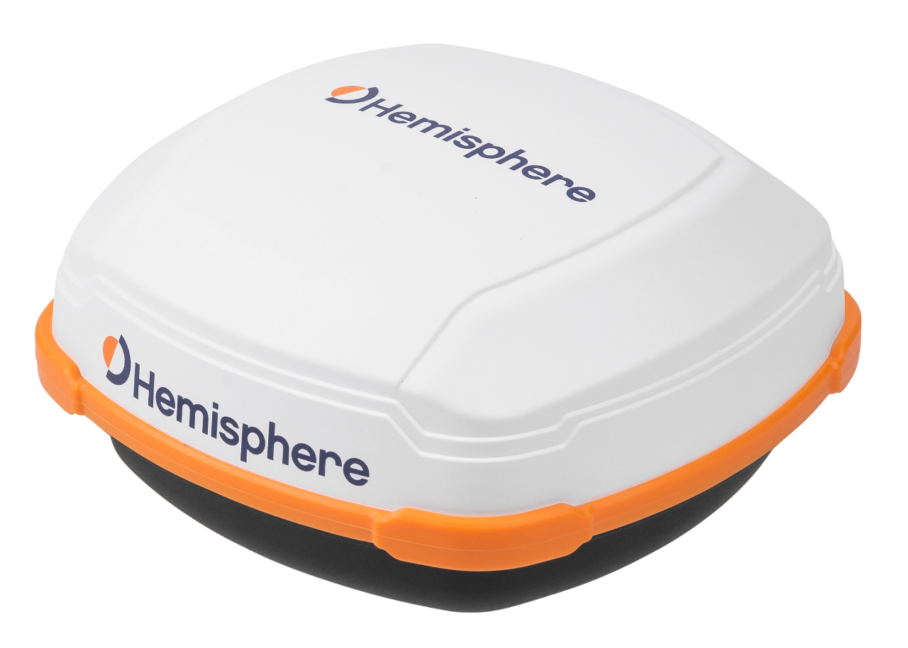
Type: GNSS A631 Smart Antenna
GNSS localization
Precise location information in real-time is obtained from GNSS device. GNSS data is integrated with all devices to enable overlapping mapped data through georeferencing.